
Sources for Fayette County Neighbors
A block lookup is a map-based task. LFUCG GIS identifies the parcel polygons around an address, the Fayette PVA supplies a separate card for each owner, and the deed index confirms recorded parties and transfers. Voter access is narrower and regulated. Lexington's association directory adds a public civic contact, not private members. Historical directories can show who was listed on the same block in a past year.
| Source | What It Shows About a Block | Access |
|---|---|---|
| LFUCG GIS | Parcel shapes, addresses, identifiers and civic geography | Free map and REST query; no owner names |
| Fayette PVA | Owner, mailing and situs address, value and parcel facts | qPublic and PVA office |
| Fayette Deeds | Recorded parties and transfers for each parcel | Online index and clerk counter |
| Voter records | Named voter confirmation or regulated street-order data | VIC or SBE-84 request |
| Neighborhood directory | Association name and public contact for an address | Dynamic city directory; no member roster |
| Historic directories | Listed occupants or subscribers in a dated street run | Digital scans and Kentucky Room |
The owner on a tax card may live elsewhere. A mailing address that matches the situs, or physical site, can support owner occupancy but cannot prove who else shares the home. Condo units, rear lots, alleys, and common areas also distort a quick visual count. Treat the result as nearby parcels and public civic contacts until a reliable source names a person at a dated address.
Select a Fayette County Parcel
Use the LFUCG property service or MapIt to locate the target address. Select its polygon and retain the PVANUM, address, unit, tax class, acreage, and cabinet or slide reference when shown. PVANUM is the parcel identifier that bridges the city map to the PVA card. GIS supplies geometry, but its parcel layer does not expose an owner name.
Pan just far enough to see touching and facing lots. There is no verified public neighbor-roster button. The researcher derives adjacency from the map. A parcel behind the target may touch it without sharing the street, while a narrow common strip can separate homes that seem adjacent. That distinction keeps an immediate-block search from becoming an inaccurate street-wide list.
Map Fayette Neighbors Parcel by Parcel
Move outward in a fixed order and save the source for each claim. A simple flow is address to GIS polygon to PVANUM to PVA owner card to deed index. Repeat it only for the nearby lots in scope. This produces a defensible block view while preserving the difference between ownership and residence.
- Find the address in LFUCG GIS and save its PVANUM and parcel outline.
- Select each touching or facing polygon, checking units and common areas before counting it.
- Open each parcel separately in the Fayette PVA search. Compare its mailing address with its situs.
- Use the Fayette deed index to confirm the recorded party, transfer date, and legal description.
- Stop at the immediate block. A whole-road review belongs in the street workflow.
The deed's lot, block, subdivision, and legal description prevent a rear parcel or shared tract from being mislabeled as a homesite. Grantor means the party transferring an interest; grantee means the party receiving it. For the full named-road chain, switch to the Fayette County street directory.
Match Fayette Neighbor Associations
Lexington-Fayette reports more than 250 registered neighborhood and homeowner associations. Entering an address in MapIt connects the parcel to a neighborhood association, voting precinct, council district, watershed, nearby parks, and other civic layers. These polygons answer different questions. An association boundary is not the same as a ZIP, parcel, voting district, or historic neighborhood.
The city's neighborhoods resource page shows how public planning programs connect residents with neighborhood resources.
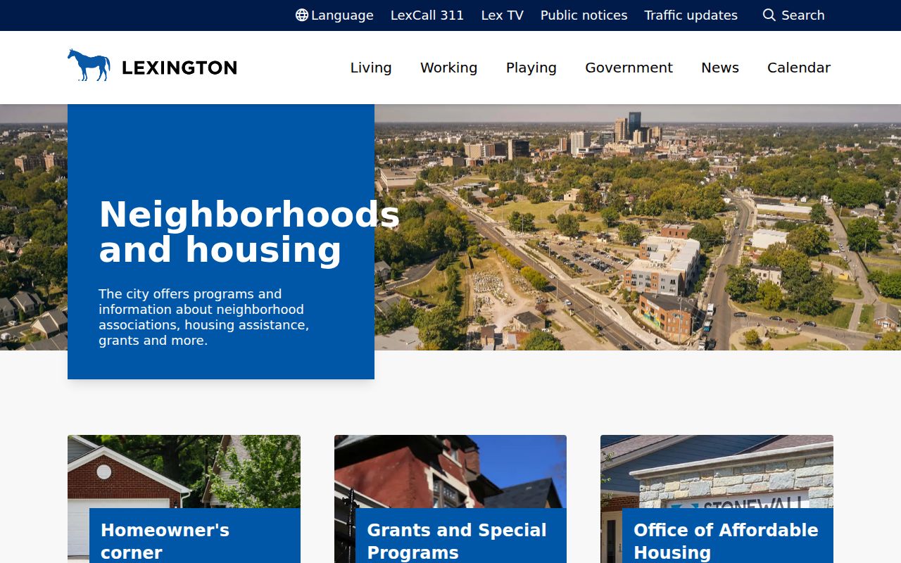
The page is a civic starting point, not a directory of households. Use the address-based association finder for the current public contact.
The official neighborhood association finder provides the live name search and update route.
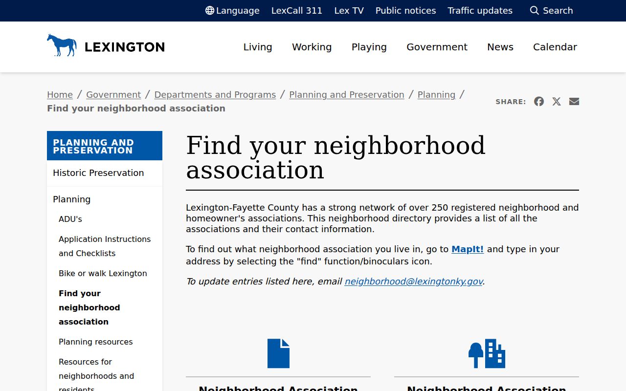
Because contacts change, the live city result is more reliable than a copied association roster.
Fayette Neighbor Civic Contacts
Official city material names Mentelle and Radcliff-Marlboro associations, plus facility areas such as Cardinal Valley, Coolavin-Smithtown, Green Acres/Hollow Creek/Breckenridge, Highlands, Meadowthorpe, Oakwood, Pralltown, St. Martins Village/Whitney Young, and Winburn/Martin Luther King. Those names help match a block to a community. They do not establish who belongs to an association.
Planning Office
101 East Vine Street, 7th floor
859-258-3160
planningmailbox@lexingtonky.gov
Weekdays, 8:00 a.m.-5:00 p.m.
Association Updates
Use neighborhood@lexingtonky.gov to correct a public contact or registration entry in the city directory.
Community Safety
Neighborhood Watch and patrol-sector contacts support meetings and safety concerns. LPD non-emergency: 859-258-3600.
Parks indoor-facility listings, council pages, community-garden applications, and Neighborhood Action Match Program records can document civic activity. They remain program trails, not private member lists.
Confirm Fayette Voters Carefully
The Voter Information Center confirms a person only after legal first name, legal last name, and date of birth are supplied. It cannot browse the block. A successful result shows current registration, polling place, and absentee status, not a household or ballot choice.
The SBE-84 request can supply county, precinct, street-order paper lists, or household labels by street and ZIP to a qualified requester who signs the statutory oath. Kentucky law controls use, copying, and transfer. Social Security numbers are redacted, and Safe at Home physical addresses are protected. Aggregate precinct statistics can describe electoral geography without identifying every nearby person.
Note: A voter match can confirm one named person, but it cannot turn a Fayette block into a complete resident list.
Trace Fayette Neighbor History
Lexington Public Library's digitized city and telephone directories add a dated street layer. Street sections and criss-cross runs can show listed householders or subscribers at nearby addresses. Census schedules and Sanborn maps can then clarify household members and building footprints for their release years. None should be projected onto the present block.
The 1974 Lexington-Fayette merger matters here. A place may appear under Lexington, Fayette County, a rural route, or a later civic label in different eras. Match the year, street number, and map before concluding that an address disappeared. The Fayette County city directory collections explain the historic volumes and abbreviations in depth.
Fayette Neighbor Scale and Geography
Lexington-Fayette had 322,570 people in the 2020 census, and the Census Bureau's 2025 estimate is 329,751 across about 283.64 square miles. That scale explains why no single roll can answer who is near one address. A downtown block, a suburban subdivision, a condo complex, and a rural farm edge produce very different parcel patterns. The immediate map view must fit the kind of place being checked.
Consolidated government adds another layer. Voters approved the merger in 1972, and Lexington and Fayette County joined as the Lexington-Fayette Urban County Government on January 1, 1974. Current city services may say LFUCG or Lexington, while the PVA, County Clerk, and election records retain Fayette County labels. An address can therefore sit in one local government yet carry several useful jurisdiction names across its records.
Keep each boundary in its own role. A parcel shows title geometry. The association layer shows a civic service area. A precinct organizes elections, and a ZIP supports mail delivery. Historic directories preserve the labels used in their own year. Comparing these layers can explain why two homes that look close on a road do not share an association, precinct, or postal code. It cannot prove a social tie between the people linked to those homes.
Note: Use the smallest defensible radius around the target address, then widen it only when the map or research question requires more context.
Official Fayette Rolls Versus Compilations
Commercial neighbor tools combine records from many dates and may merge people with similar names. Official sources are narrower, but each has a custodian and a defined meaning. Use the public roll that answers the question, cite its date, and avoid turning a likely association into a statement of fact.
| Source type | Strength | Main limit |
|---|---|---|
| GIS and PVA | Current parcel geometry and assessed owner | Not a household roster |
| Deed index | Recorded transfer parties and dates | Index may not include the full image |
| Voter confirmation | Current named-voter status | No reverse block browse |
| Commercial compilation | Broad possible associations | Stale, merged, paid or unclear source dates |
When an official record is wrong, contact the PVA, County Clerk, election custodian, or other originating office with the parcel or record number and supporting proof.
Privacy for Fayette Block Records
Renters, children, relatives, and other non-owner household members may not appear in parcel records. Utility, delivery, association-member, congregation, and block-watch lists were not verified as open public data. Juvenile, sealed, and protected court records also remain outside an ordinary neighbor lookup. Kentucky Safe at Home gives certified participants a substitute address and protects the physical address under KRS 14.304, subject to statutory exceptions.
Respect the line between civic curiosity and surveillance. A parcel border proves a geographic relationship, not friendship, conduct, or household makeup. If a safety issue is immediate, contact the proper public agency instead of confronting a person based on a directory result.
Lawful use. Research nearby Fayette records only for lawful personal and civic purposes. Never use them to watch, stalk, harass, threaten, or intimidate anyone.