
Fayette ZIP Directory Coverage
The LFUCG ZIP boundary layer contains fourteen current geographic polygons. It exposes a five-character ZIPCODE field and supports map, query, statistics, distinct values, pagination, and GeoJSON. It is the official local geographic layer, but not a USPS address validator or resident roll.
| ZIP | Areas Covered | Post Office | Notes |
|---|---|---|---|
| 40502 | East and central; older east-side and university-adjacent grid | Lexington | Henry Clay station example is in 40502 |
| 40503 | South and southwest; Clays Mill and Stonewall side | Lexington | Verify parcel, not neighborhood shorthand |
| 40504 | West and southwest; Cardinal Valley and Coolavin side | Lexington | Crosses association areas |
| 40505 | North and northeast urban area | Lexington | A boundary can cut a planning area |
| 40507 | Central and downtown | Lexington | Dense parcels and units |
| 40508 | Older inner central, west, and east streets | Lexington | Historic street forms may differ |
| 40509 | East and southeast urban area | Lexington | Compare civic layers |
| 40510 | Northwest, airport, and peripheral area | Lexington | Broad mix of land uses |
| 40511 | North and northwest | Lexington | PVANUM is the parcel pivot |
| 40513 | West and southwest growth area | Lexington | Lot, block, and unit matter |
| 40514 | South and southwest | Lexington | Owner search requires PVA |
| 40515 | South and east | Lexington | Use USPS for ZIP+4 |
| 40516 | East and northeast | Lexington | Can cross civic layers |
| 40517 | South and east urban area | Lexington | Parcel records remain address based |
This Fayette County ZIP code directory labels each broad area conservatively. LFUCG metadata does not assign a postal station to every polygon. Verify the station and delivery code for an exact address through USPS.
Fourteen Fayette ZIP Polygons
The boundary service makes an important local distinction visible: its list is complete for mapped geographic polygons, yet it does not claim to list every special or PO-box-only code used in Lexington mailing addresses. Codes such as 40506 or 40512 may appear in postal use, but the research did not verify them as geographic Fayette polygons.
The LFUCG five-digit layer shows the current query service.
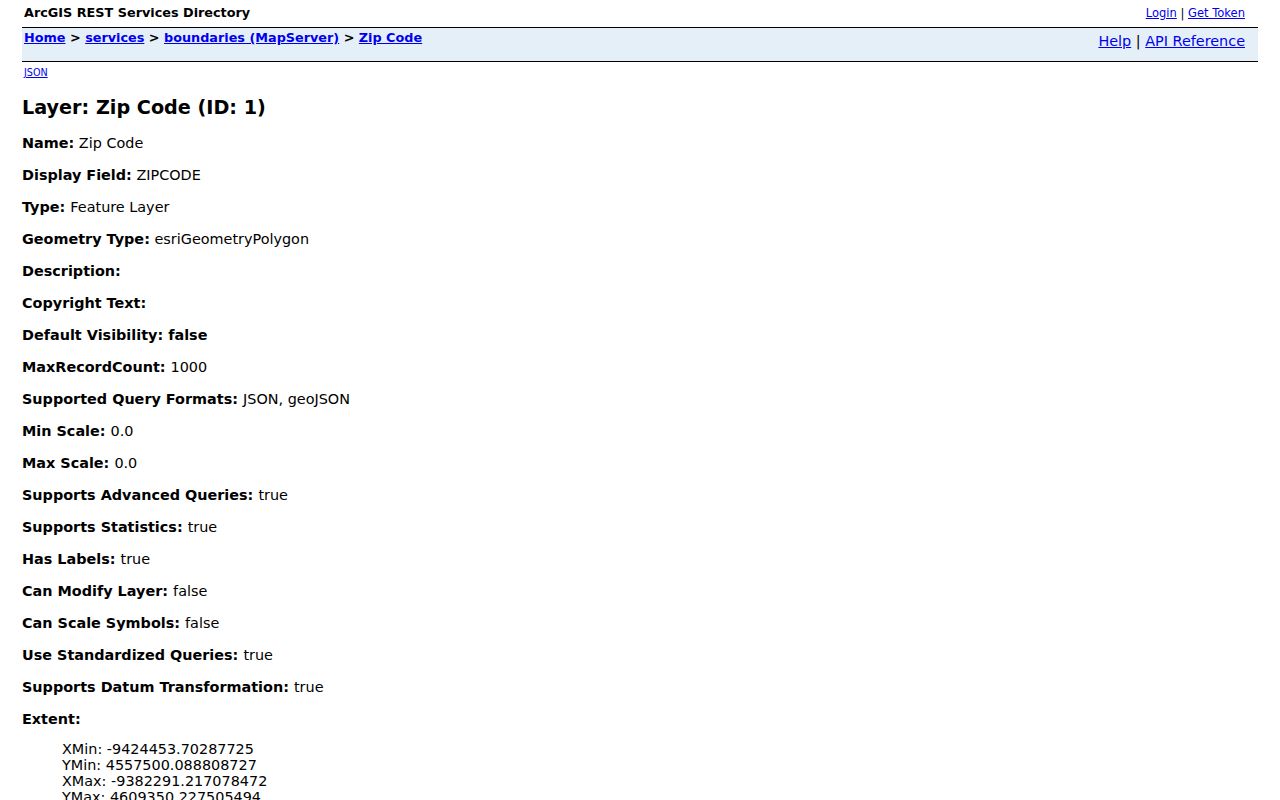
The service's fourteen distinct values support local map work while USPS remains the final source for a mailing code.
Validate Fayette ZIP Codes With USPS
Use the USPS ZIP Code Lookup for the full street, city, and state. It can return the delivery code and ZIP+4 tied to the supplied address. A city-and-state search is useful for postal options, but it cannot prove which county parcel or household is involved.
| Field or mode | Use in Fayette County |
|---|---|
| Street address | Enter the delivery address with unit details when known. |
| City and state | Use Lexington, Kentucky for postal lookup, not as a county-boundary test. |
| ZIP result | Record the validated five digits for the exact address. |
| ZIP+4 result | Use the added four digits for a more precise delivery segment. |
The official lookup screen is the source for the address check.
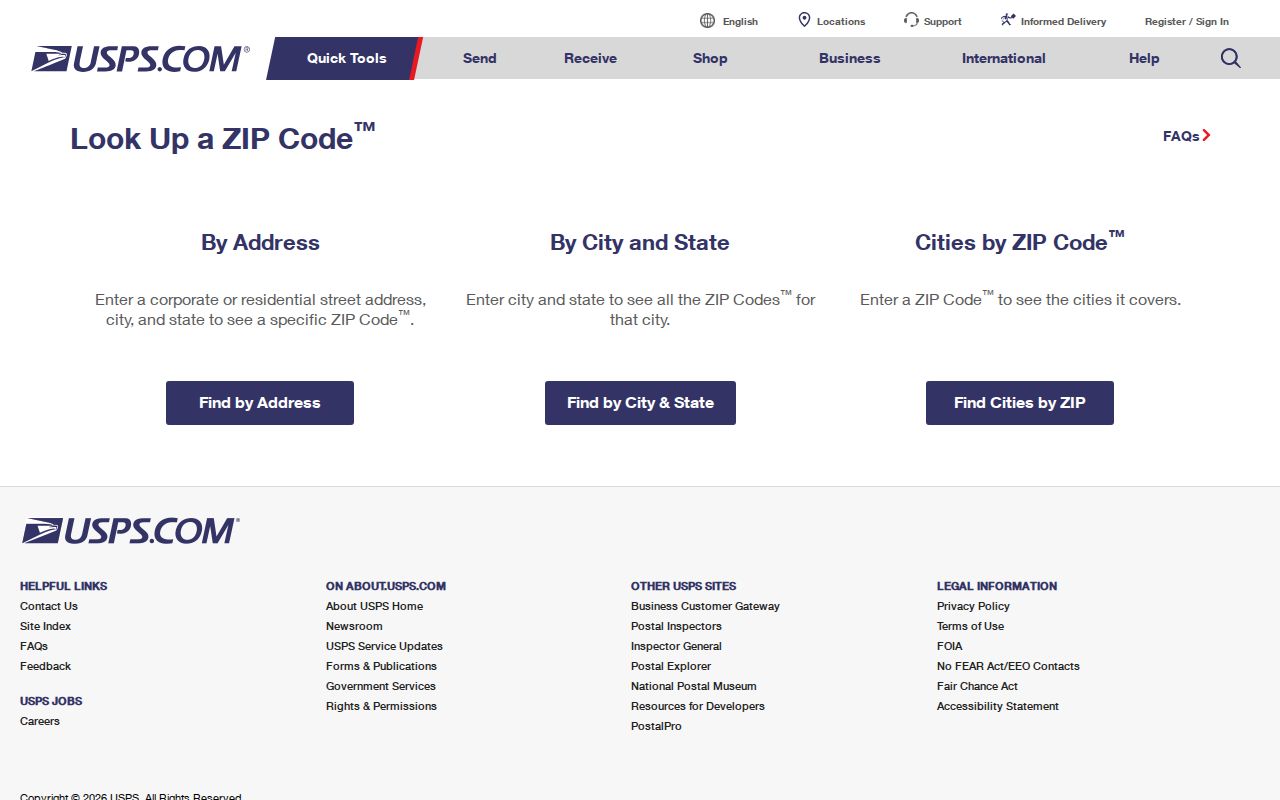
The postal result should then be paired with the local parcel or civic map, depending on the question.
Find Fayette Residents Within a ZIP
A ZIP code directory narrows the field; it does not supply names by itself. Start with an exact delivery address when possible, locate its current polygon, and then choose the lawful record source. The PVA ties an owner to a parcel. A voter confirmation requires a legal name and birth date. A regulated voter-file order has its own oath and purpose limits.
- Validate the street address and ZIP+4 with USPS.
- Use LFUCG boundaries or MapIt to confirm the current polygon and civic context.
- Use PVANUM and the PVA when the question concerns parcel ownership or situs.
- Use the Fayette deed index for recorded parties and legal instruments.
- Use SBE-84 only for an eligible, lawful voter-data order, not as a casual people list.
Once the work narrows to a road segment, the Fayette County street directory gives the address-level chain without rebuilding it here.
Fayette ZIP Search Channels
Local and state portals handle ZIP input in different ways. The ZIP field may describe delivery, map geometry, a professional record, or a requested list format. Read the result type before drawing a conclusion.
| Portal | ZIP Input | What It Returns |
|---|---|---|
| USPS Lookup | Address or city/state mode | Validated ZIP or ZIP+4, not residents |
| LFUCG boundaries | ZIPCODE query field | Polygon, map, or GeoJSON, with no owner |
| LFUCG parcel GIS | No ZIP field in inspected schema | Address, PVANUM, and parcel geometry |
| PVA/qPublic | Quick address search verified | Parcel card; full ZIP controls were not verified |
| Fayette deed index | No dedicated ZIP field | Names, address parts, instrument, and legal clues |
| Voter Information Center | No ZIP browse | Personal registration confirmation after name and birth date |
| SBE-84 order | Household labels by ZIP | Regulated output under oath, fees, and use rules |
Do not invent a ZIP filter when a portal only shows address search. The GIS parcel schema has address parts and PVANUM but no owner name. The PVA supplies the owner pivot.
Fayette ZIP Boundaries Are Not Limits
Lexington and Fayette County operate as a consolidated urban-county government. Even here, a Lexington mailing city is not the same as a city-limit, county, neighborhood, council, precinct, tax, or census boundary. One ZIP can cross several of those layers. A polygon query returns geography, not a list of all residents.
- ZIP code
- A five-digit USPS delivery code represented locally by a geographic polygon when one exists.
- ZIP+4
- A more precise postal delivery segment tied to an address.
- PO-box ZIP
- A code used for post-office boxes that may have no geographic polygon.
- Unique ZIP
- A code assigned to a large organization or special delivery use.
- Carrier route
- A postal delivery path, not a parcel, neighborhood, or civic district.
Map Fayette ZIPs to Civic Areas
MapIt turns one Fayette County address into a wider civic context. The city says its find tool can return neighborhood association, council district, voting precinct, nearby parks, watershed, and related layers. Those overlays can explain why two homes in one ZIP have different local contacts or districts.
The key is to keep each layer separate. The neighborhood list has more than 250 registered associations, but it does not expose private member names. A council district does not define postal delivery. A precinct does not replace a voter record. A parcel outline does not prove who occupies the site.
Use the map as a pivot, then go to the source that owns the fact. This is especially useful in 40504, 40505, 40509, and 40516, where the research notes that ZIP shapes may cross planning or civic areas.
Fayette ZIP and Census Geography
Census ZIP Code Tabulation Areas, or ZCTAs, are statistical approximations. They support population and land-area comparisons, but they are not live USPS delivery routes. Census QuickFacts reports 322,570 people in Lexington-Fayette urban county at the 2020 Census and a 2025 estimate of 329,751 across about 283.64 square miles. That scale is why no single polygon should be mistaken for a household list.
The Census Gazetteer files provide the statistical geography source.
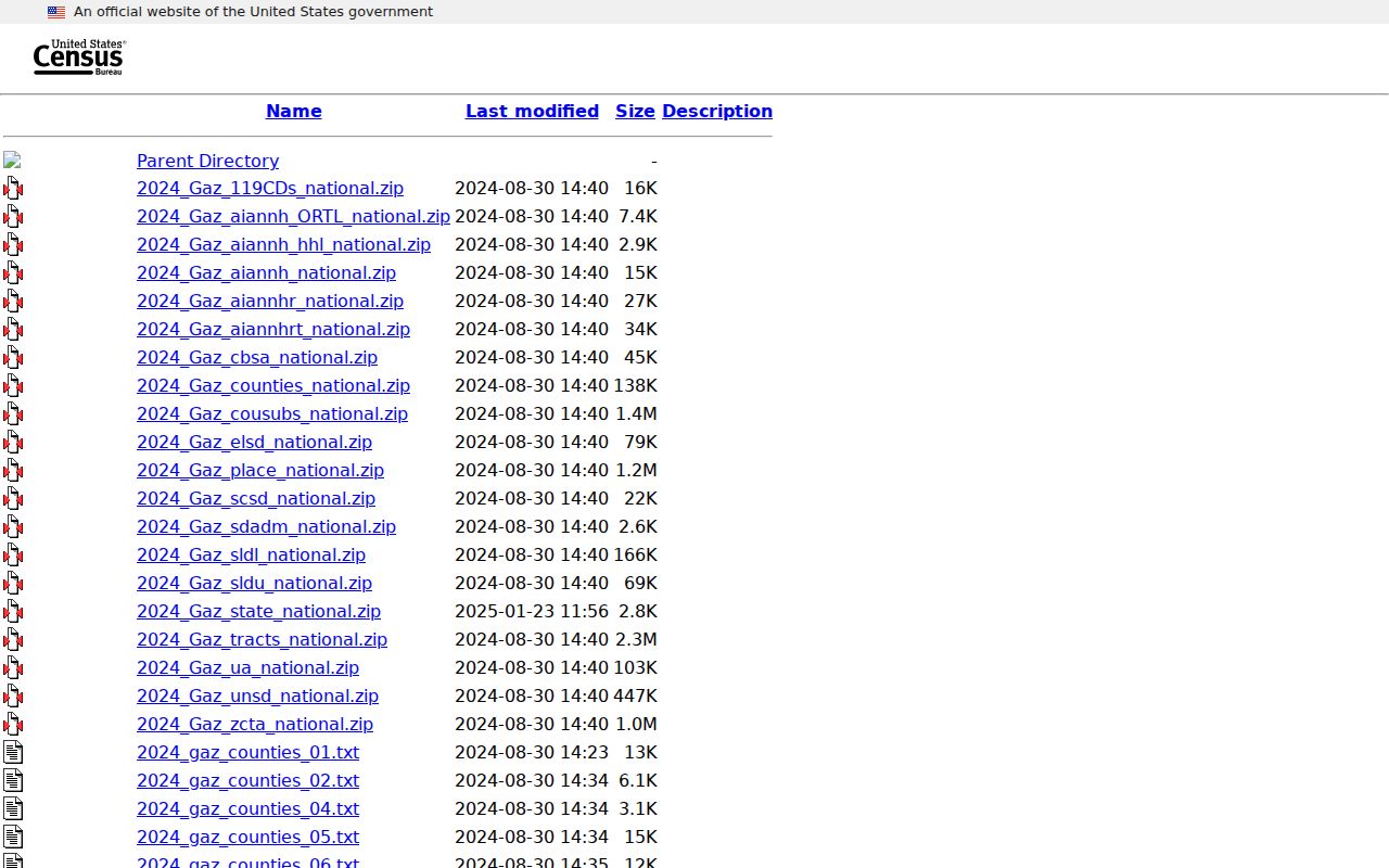
Use Census material for aggregate context, LFUCG for current local polygons, and USPS for one address.
Fayette ZIP, Situs, and Title
A parcel card can show both an owner mailing address and a physical situs. The mailing line is where notices go. Situs means the parcel's physical location. The deed adds a legal description, and the GIS adds shape. These may differ without any error.
Keep each address part in its own field: number, directional, street name, type, unit, city, state, and ZIP. The deed index also accepts subdivision, lot, and block. Condo units and parcels with large acreage need those added facts. A ZIP-only match is too broad for title or occupancy.
The safest chain is simple: delivery address to USPS, current geometry to GIS, parcel identity to PVA, and recorded title to the Fayette County Clerk.
Historic Fayette Addresses Predate ZIPs
Do not project a current ZIP backward into Fayette County city directories, deeds, or census schedules. Sanborn maps from 1886, 1896, and 1907 can show an old block or building. The 1934 to 1950 set helps with later changes. Directory street sections and old plats bridge printed addresses to legal land records.
Government labels change too. Voters approved consolidation in 1972, and the merger took effect January 1, 1974. A 1912 rural directory, 1950 census, 1971 farm directory, and current PVA card can describe the same broad place in different terms.
No official Fayette ZIP split or realignment history was found. For a past postal question, use a dated postal directory or map and validate the current address separately. Do not infer history from today's polygon.
Use Fayette ZIP Records Carefully
A Fayette County ZIP code directory supports geography and search order. It cannot prove that a person lives at every address linked to a code. Property ownership is not the same as occupancy, a voter lookup cannot browse a street, and special codes may have no polygon.
Confirm each claim with its custodian and date. Postal results can change. GIS layers are current services. PVA data follows assessment practice. Deeds record instruments. Historic directories describe their own publication year. Keeping those limits intact makes ZIP work much more accurate.